Meteor Nexus Camera High-tech Flood Tackling Gadgetry
A recent article published on edie.net highlights the high-tech equipment that has been publicised by the Environment Agency as part of its Flood Action Campaign.
The full article available here describes the live operation of over 120 Meteor Nexus Cameras for flood protection, the first large scale installation of it kind in the country:
“Solar-powered cameras – The Environment Agency has recently installed solar powered cameras at locations around the country to monitor water levels in crucial areas. The cameras are linked to Twitter and when residents have signed up to the service, they will receive alerts and photos via twitter when water levels rise significantly.”
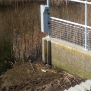
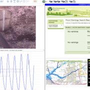
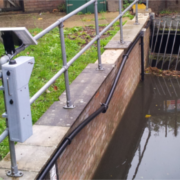
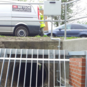
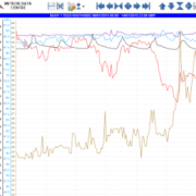
As shown in the image above, the cost-effective cameras are quick to deploy, low maintenance and robust. For more information about the EA Flood Defence Camera Network please click here.

